Where is the Coronado Trail Scenic Byway?
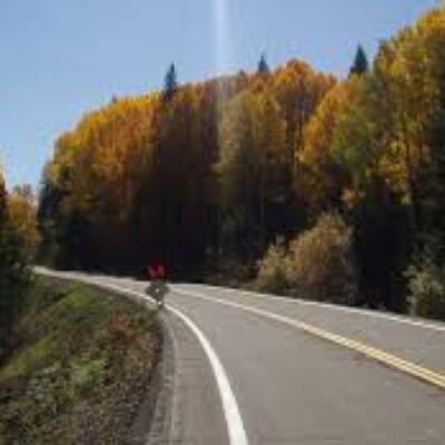
Part of the U.S. Route 191 (formerly Route 666 aka “The Devil’s Highway”), the road runs from Apache County to Greenlee County, in the southeastern part of the U.S. state of Arizona, skirting the eastern edge of the Apache-Sitgreaves National Forests. It’s totally paved.
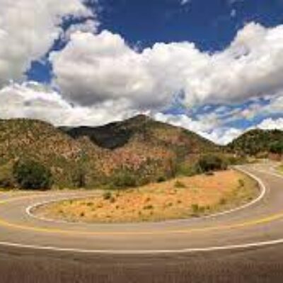
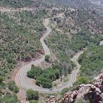
Coronado Trail Scenic Byway is the name of a very exciting ride in the southeastern part of the U.S. state of Arizona. The road is chock-full of challenging switchbacks and hairpin turns. It’s said to have 460 curves. It’s one of the highest roads of Arizona.


